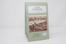
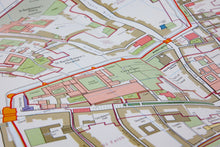
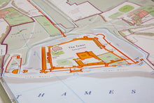
So much of London has changed over the ages. Have you ever wondered what it looked like before? Where did that road lead to in the Tudor age? What is lurking under the surface of our modern day London? This map offers answers to all these questions and more. It unfolds to reveal the reconstructed London roads of the early sixteenth century, and is based on the hard work of historians and archaeologists.
Covering a large geographical area, the buildings are coloured according to their type. On the reverse you have the directory of all the streets and buildings shown on the map, a brief history and information boxes on some of the themes of London’s history.
Publication Date : 2022
Publisher : British Historic Towns Atlas
ISBN : 9781838071943


